
In the daily reality of many families, visits to parks, beaches, and large public events often come with a constant worry: what happens if a child gets lost? In crowded environments and open spaces, searching for a young child can quickly become both a logistical and emotional challenge.
This project was born from the desire to address this problem in an innovative, technological, and accessible way.
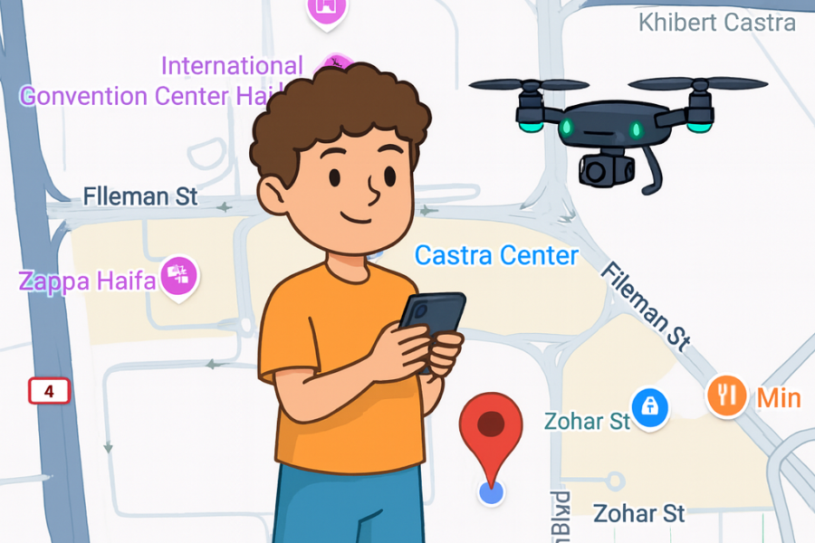
The project, “Where’s My Child?”, focuses on developing a dedicated Android mobile application designed to record a child’s walking path as accurately as possible—using not only GPS, but also the various motion and orientation sensors built into every modern smartphone. Throughout the development stages, the app analyzes movement and direction data to draw and display the child’s path in real time on an interactive map.
The next phase of the project, which will be carried out later as part of Project B, includes integrating a drone that analyzes aerial images of the area and searches for the child based on the estimated route recorded by the application. This solution combines technologies from the mobile world, the drone ecosystem, and the field of computer vision to create an advanced and efficient child-tracking system.
This project brings together diverse areas of knowledge: Android application development in Java, sensor data processing, working with GPS systems, and integration with graphical tools. All of these merge for one important goal—enhancing the safety of children in public spaces and turning moments of panic into opportunities for smart, precise, and effective response.