

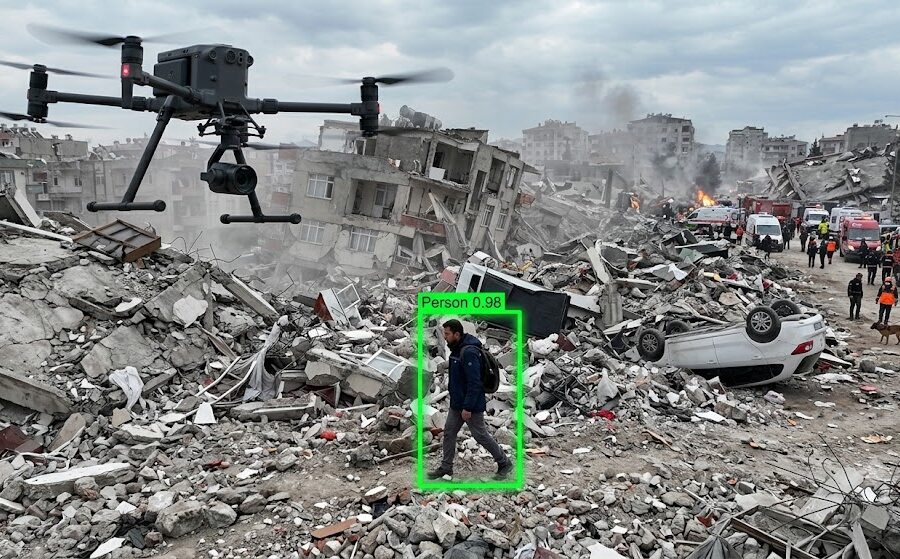
The project aims to develop a rapid, autonomous drone system to scan disaster areas and locate survivors, replacing traditional search methods that are slow, resource-intensive, and dangerous. Initially, we planned to use a physical drone (Crazyflie 2.0). However, severe hardware limitations, such as short battery life and poor camera resolution, forced a strategic transition. The project was moved to a high-fidelity simulation environment using Microsoft AirSim and Unreal Engine, allowing us to focus on algorithmic development without physical constraints. A Python script controls the drone to fly an autonomous zigzag pattern over a defined area, ensuring complete coverage while capturing high-resolution images and saving telemetry data. The system uses the YOLOv8s algorithm to process the captured images offline and detect human survivors. A Geolocation algorithm uses the drone’s altitude and field of view to convert 2D image pixels into precise 3D real-world coordinates, allowing rescue teams to pinpoint the exact location of the survivors.